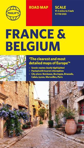
Philip's Road Map France and Belgium
Synopsis
'THE CLEAREST AND MOST DETAILED MAPS OF EUROPE' David Williams MBE, former CEO Gem Motoring Assist
A freshly updated edition of Philip's ultra-clear, double-sided road map covering the whole of France and Belgium, with the latest tourist, heritage and driving information, a comprehensive index and town plans for easy use.
This bestselling fold-out map for navigating in France and Belgium has been thoroughly updated for easy travelling. Whether you are driving through vineyards to the most spectacular scenic routes the countries have to offer, meandering through the South of France or planning your trip from Brussels to Paris, this handy map has all you need.
- Super-clearmapping scale 1:1,110,000 (17.5 miles to 1 inch)
- Keydriving information: motorways (toll, pre-pay and free), mountain passes, railways, road numbers (European and local), plus distances between towns
- Fully revised and up-to-date with the latest tourist and leisure information
- Scenic routes clearly highlighted
- Places of interest added: from castles, heritage sites, beaches and national parks to theme parks, places of worship and ancient monuments
- Includes the island of Corsica and sights of Monaco
- Double-sided maps - more for your money and easier to use
- Detailed city plans: Paris, Bordeaux, Boulogne, Brussels, Calais, Lyons and Marseilles
- Full index of place names
In fact, everything you need for your trip to and through France and Belgium.
- Publisher: Octopus Publishing Group
- ISBN: 9781849076791
- Weight: 90g
- Dimensions: 238 x 114 x 16 mm
Customer Reviews
You may also like...