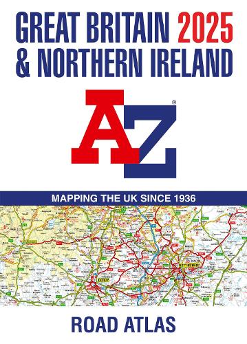
Great Britain & Northern Ireland A-Z Road Atlas 2025 (A3 Paperback)
Synopsis
Navigate your way around Great Britain with this detailed and easy-to-use A-Z Road Atlas
A full-colour, paperback road atlas of Great Britain, now fully revised and updated. Clear detailed road mapping at a scale of 3.5 miles to 1 inch. Presented in a big, easy-to-read A3 format.
This essential road atlas includes:
- 11 pages of main route mapping covering Greater London, Birmingham and Manchester
- Mileage chart with average journey times
- Information on motorway junctions with limited interchanges
- 70 city and town centre street plans
- 16 port and airport plans
- Channel Tunnel terminus maps
- Map reference information also in French and German
Also included is a full index to cities, towns, villages, hamlets, major destinations and selected places of interest with postcodes for sat-nav use.
Instantly recognisable and easy to use, the road mapping has been specifically tailored for the smaller scale featuring: clear standard road classification colours for easy identification, motorway junction symbols, under construction and proposed roads, primary route destinations, service areas, National and county boundaries, and a wide range of tourist and ancillary information, including Blue Flag Beaches.
The combination of map scale and large format gives a double-page driving range of 60 miles north to south and 80 miles east to west, making this publication the ideal motoring companion.
- Publisher: HarperCollins Publishers
- ISBN: 9780008652920
- Number of pages: 152
- Weight: 1140g
- Dimensions: 390 x 280 x 10 mm
Customer Reviews
You may also like...