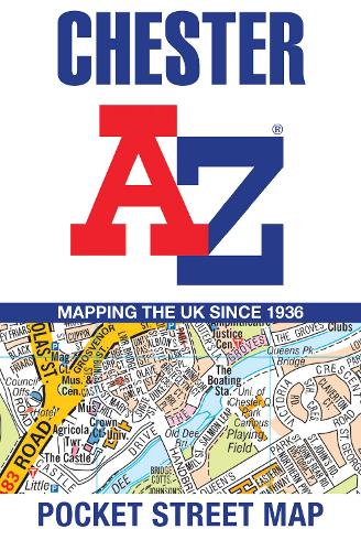
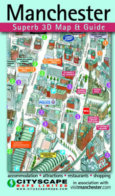
Chester A-Z Pocket Street Map
Map Published on: 25/04/2024
Synopsis
Navigate your way around Chester with detailed street maps from A-Z
This up-to-date, folded A-Z street map includes 2,600 streets in and around Brighton. As well as the seafront and Brighton Palace Pier, the other areas covered are The Lanes, Preston Park, the Artists’ Quarter, Hanover and Seven Dials.
The large scale 1 mile to 5.5 inch (1 km to 8.68 cm) street map includes the following:
• Places of interest
• One-way streets and car parks
• Index to streets, places of interest, place and area names, park and ride sites, national rail stations, hospitals and hospices
The perfect reference map for finding your way around Brighton.
- Publisher: HarperCollins Publishers
- ISBN: 9780008657451
- Number of pages: 2
- Weight: 40g
- Dimensions: 140 x 90 x 3 mm
Customer Reviews
You may also like...

53.00
13.95


3.99